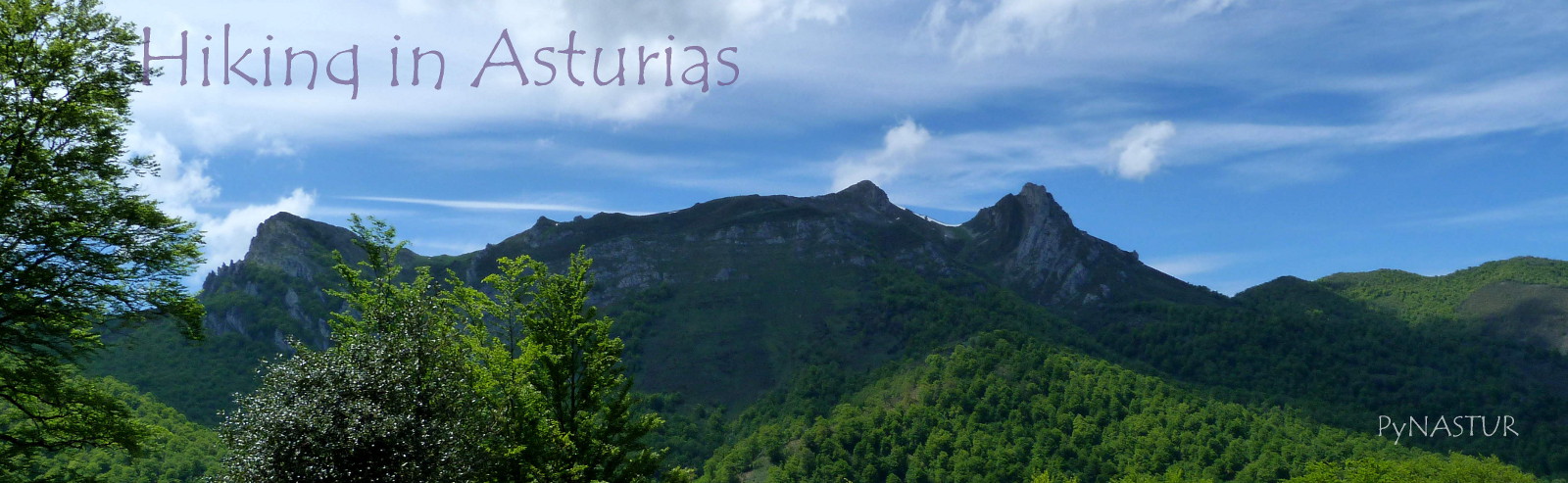
HELL CLIFFS COASTAL PATH IN ASTURIAS SPAIN ( Ribadesella )
Hiking Trail: Semicircular

Distance: 10 Km aprox.
Timescale: 3 1/2 h
Dificulty: Easy
Height Difference: Inappreciable
On Mtb: Yes, at the end of the post I will explain how I did it on a mountain bike a few days later.
Kids: Yes
Date Completed: 07/07/2012
Date Completed on Mtb: 27/07/2012
Location: AS-263, 33560 Ribadesella, España
TRACK OF THE ROUTE
Where to eat: En EL RESTAURANTE CASA ANTÓN en Cuerres. For what we´ve read after being there, their specialty are red meats and cod.
To get there, coming on the A-8, we have to take exit 326 to Ribadesella and continue on the N-632 direction ribadesella, bordering the river, shortly before entering the village, take the AS-263 to the right and 1.5 miles or so after passing the train station, we take a left small road andin another km o so ends in a house and a small meadow where we can park. To get there you can also see LOCATION.
This coastal walking route we did from the recreational area of the Cliffs of Hell, a little beyond Ribadesella, to the east, and at one point we decided to go inland till the junction with the Camino de Santiago and continue it until Cuerres village. The truth is that this route has to be made improvising, as it is not marked as such. So you simply have to follow the coastline through meadows and paths more or less marked, and in the most rugged places, slightly separate from the coastline, till finding a point at which we approach again.
.JPG "Hell Cliffs Recreation Area Asturias Spain") |
| Hell Cliffs Recreation Area - Ribadesella Asturias Sapin |
We leave 3 maps of Google Earth. In this first the full path..
 |
| Mapa 1 |
In this one the western section of the track ...
 |
| Mapa 2 |
.. And in the latter the eastern section. We hope it is more less clear.
 |
| Mapa 3 |
And if it were not so, here's this other topographic map with the complete path that began at the height of the Tomason Beach, to continue along the coast to the area of the islets of Palo Verde, where we went south to reach the "Camino de Santiago" ... etc ... if not, any of you cuold call us burdensome.
 |
| Mapa 4 |
The course does not require much explanation, so we will not extend much .. This is one of the first glimpses we have shortly after leaving the car. As you can see, words are unnecessary.

And in this picture is well understood, which we mentioned earlier about being separated from the coast line in some areas, unless of course, someone wants to make the goat.

This photo was taken eastward with Cuera mountain range in the background. Here, we first approach the sea to the left, and then continue through the middle of the meadow down.

If you look in Map 2, in some points along the way, you can see some small peaks to the sea, where we can approach the cliffs to see the landscape, then back a few meters and continue walking.


In grassland areas, although there is no path as such, it is easy to follow the route, as there are some brands of farm vehicle or grass crushed by walkers.


The Sueve Mountain Range, semi covered by clouds. The day was quite sunny, but clouds in the background, give us a hint of what was to come ...

In one of the areas in which we approach the cliffs, we found surprisingly, with this small "recreation area" consisting of a table and two benches in the shade of a yew. the truth is you do not see it until you're next, as it is sunk a few feet into the ground. We have pointed out the exact spot in Map 2 as "prao con mesa" and tobe more specific, just behind from where I took the picture is the sea. If you look in the middle of the meadow , there is a kind of concrete slab we imagine is covering a "bufon" (The "bufones" are cracks in the rock cliff, connected with the sea, through which the waves push the water with great force, forming on the surface, water spray jets visible from the outside and reaching more than meters high) or well connected to the sea.

View of the coast towards Ribadesella from the islets of Palo Verde ..

And here, looking back, with theSueve mountains in the background.

After a while we got to the point marked afford on Map 2 as "La Selva", which shows that we are approaching the cliffs twice, but both times we end up with brambles and ferns to the neck, so we decided democratically, separate from the coast to follow a path southward, crossing through a couple of eucalyptus forest spots to get quickly to the confluence with the Camino de Santiago, whrere we continued to the left (east) towards to Cuerres ...

 |
| Ermita de san Martín |
In a few minutes, already get to Cuerres Village, where you can see, bu not drink, in the Pilgrims´ Well.
 |
| Fuente de Los Peregrinos - Cuerres - Ribadesella - Asturias |
And right next door ... The Church of San Mames which was used in ancient times as a hostel for pilgrims.
 |
| Fuente de Los Peregrinos e Iglesia de San Mamés - Cuerres - Ribadesella - Asturias |
As they say, every cloud has a silver lining, for the act of leaving the coast, took us straight to Cuerres, where we enjoyed a good meal, with Asturian bean stew (Fabada Asturiana) included, at Restaurante Casa Antón.
 |
| Iglesia de San Mamés - Cuerres - Ribadesella - Asturias |
On the way back, you just have to follow all the time El Camino de Santiago, and in getting to the place marked in Map 2 as "Cruce con el Camino de Santiago", go straight forward till we get to the road, turning right towards the coast, and after 300 m or so, will get to the place where we left the car.

In short, the route is really beutiful and I personally, was eager to continue along the coast to the beach Guadamía (see Map 1), and from there get to Cuerres and make full circular.One of these days I'll make it on mountain bike and add the photos and the entire track.

We leave you here THE TRACK OF THE ROUTE ON WIKILOC
MADE ON MTB (Mountain Bike):
Hiking Trail: Circular
Distance: 16 km aprox, starting it from the recreational area of the Cliffs of Hell and discounting the turns searching the route and a tour i gave in the Cuerres area.
Timescale: 1 h 45 m aprox. (not counting stops)
From here I explain how I made the mountain bike route a few days later. In this map I put the second part of the route because the first matches exactly the path that we walked a few days before. From the recreational area of the Cliffs of Hell to the Islets of palo verde, the route has no difficulty on Mtb. From that point is where the first time we had to go to the inside, I was researching a while trying to find a way to continue along the coast but there was no way to find a path through all the ferns and brambles, and again, had to turn south on the path that leads to the Camino de Santiago, and once there turn left following the path forabout 200 meters, to turn to the left into a narrow path, leaving back the "Camino de Santiago" ...

.JPG)
.JPG)
...shortly i came to this post in which you see that we are in the PR-AS.276. Really do not know where it comes from or where it goes (I´ll try to inform or report to me). The most interesting part of the photo, are those cute thorns on the right, of which i "enjoyed" almost to Guadamía ..
.JPG "Senderismo por la costa de Ribadesella")
.JPG)
.JPG)
.JPG)
.JPG)
.JPG)
.JPG)
.JPG)
IN A FEW DAYS YOU´LL HAVE THE REST OF THR TRANSLATION..THANKS
.JPG)
.JPG "Área Recreativa de Guadamía Ribadesella")
.JPG "Acantilados de Pria Llanes") |
| Acantilados de Pria desde El Área recreativa de Guadamía en Ribadesella |
.JPG "Playa de Guadamía en pleamar") |
| Playa de Guadamía en pleamar |
.JPG)
From here, I took the road that takes you to Cuerres and continued along the Route to Santiago to The Atalaya Beach in Ribadesella, which is where I left the car with the idea of starting the coastal route from there, but after asking a couple of locals, it became clear that the most logical place to start the route is in the recreation area of the cliffs of Hell, which is where we started the first time.
Greetings
Pynastur
No comments:
Post a Comment